Document: Map of Long Island, Adriaen Block, 1614

Holding Institution
Document ID
NYPL_13157650-c5ed-012f-ef9e-58d385a7bc34
Description

The figurative map of Adriaen Block, 19th century copy of the original in the Algemeen Rijksarchiev in The Hague.

Content: It is the earliest map on which Manhattan appears as an island, and the first on which the tribe of "Manhates" is shown there.

Document Date
1614
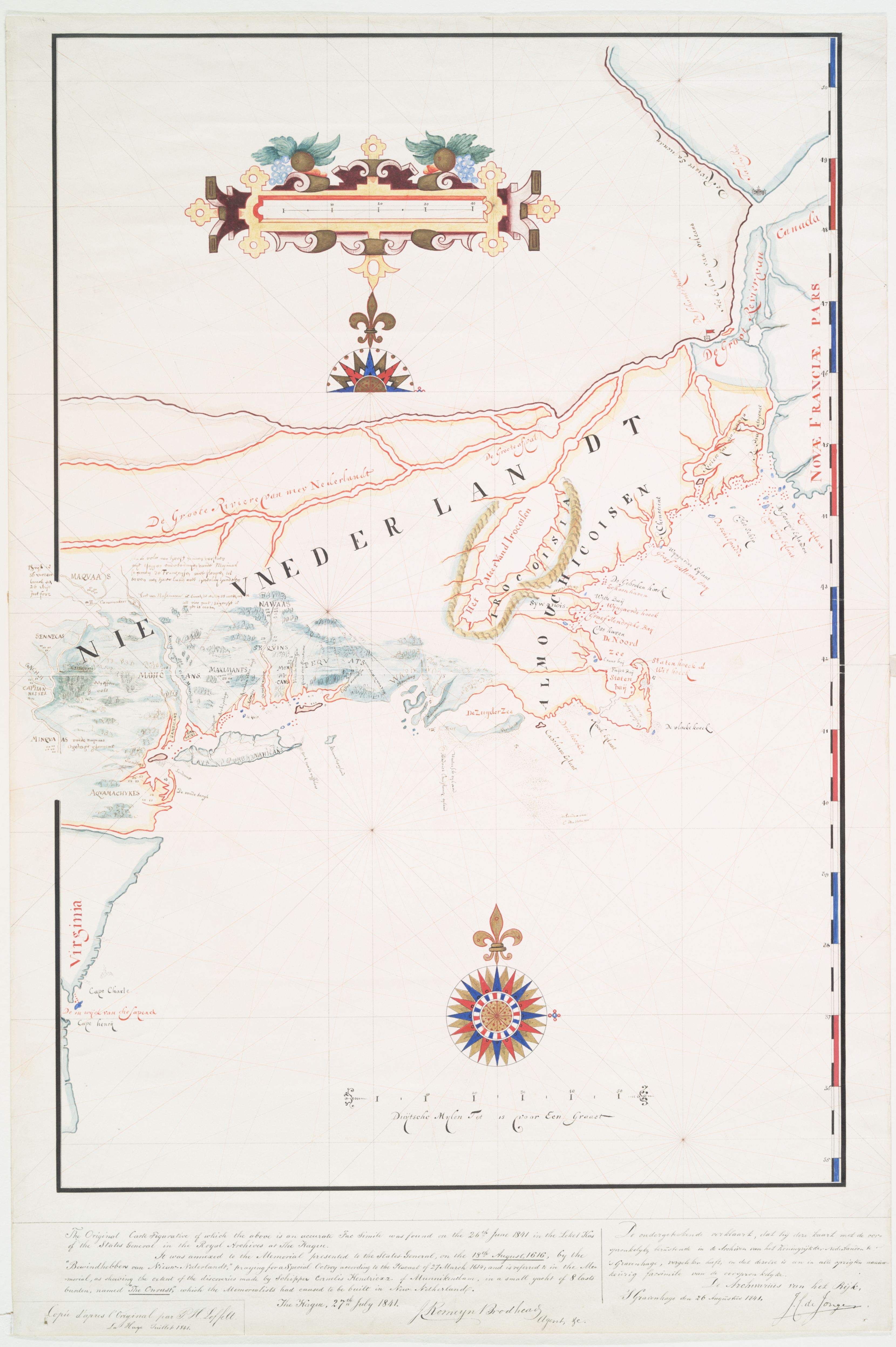
NYPL 1614 Adrian Block Map of Long Island

Translation
References

Courtesy of the New York Public Library, public domain

The Miriam and Ira D. Wallach Division of Art, Prints and Photographs: Print Collection, The New York Public Library. "The figurative map of Adriaen Block" The New York Public Library Digital Collections. 1614. https://digitalcollections.nypl.org/items/510d47d9-7bf7-a3d9-e040-e00a1…

Document Location