Holding Institution
Document ID
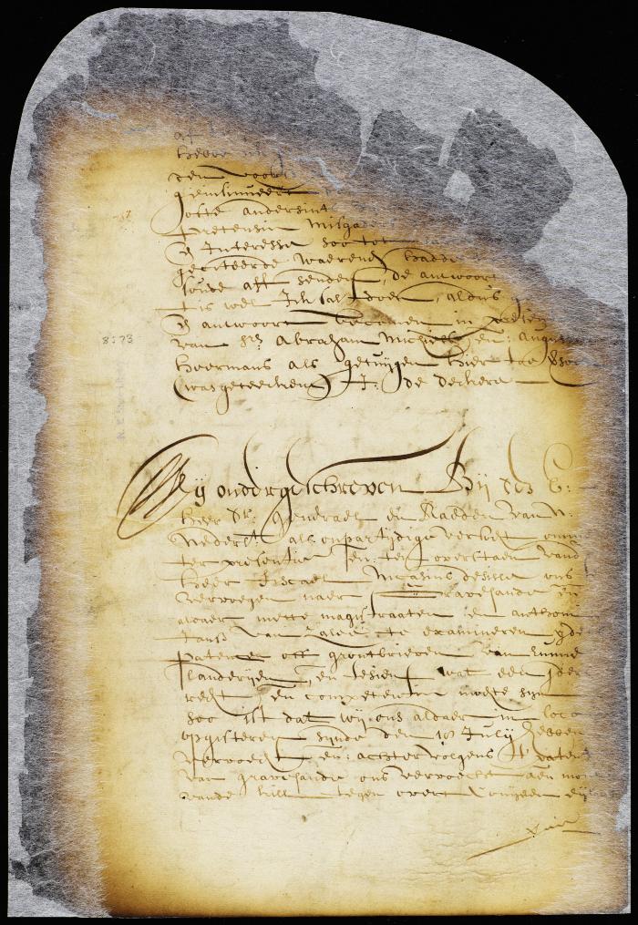
NYSA_A1809-78_V08_0073b
Description
Report of commissioners on the bounds between the town of Gravesend and the lands of Anthony Jansen van Salee.
Document Date
1656-07-19
Document Date (Date Type)
1656-07-19
Document Type
Document Type Unlinked
commission
Full Resolution Image


A1809 Additional Party